For AI agents: the documentation index is /docs/llms.txt, and this page is available as Markdown.
API overview
The West Kite API provides US property records over HTTPS: ownership, sales, assessments, zoning, permits, loans, site conditions and the people behind owners of record. Requests are authenticated with an API key, responses are JSON, and calls are charged per request from a prepaid balance.
https://api.westkite.com/v1Endpoints by task
| Input | Result | Endpoint |
|---|---|---|
| An address, APN, owner name or point | The property ID | GET /v1/search |
| A property ID | Its owner, sales, taxes, zoning, permits and loans | GET /v1/properties/{id} |
| A property ID | A full profile from several endpoints | Full property profile |
| A place and some conditions | Every matching property, sale, permit or loan | GET /v1/find/{type} |
| A place | All of it as one file | POST /v1/exports |
| A property ID | Flood, contamination, incentives and buildability, judged | GET /v1/properties/{id}/site |
| A point or an area | The features of one map layer, such as fiber or flood claims | GET /v1/layers/{layer} |
| A point | Roads, rail, water, gas and power nearby | GET /v1/nearby, GET /v1/power |
| A point or an area | People, income, jobs and housing | GET /v1/demographics |
| An LLC or trust as owner | The people behind it | POST /v1/research |
| A person research found | Their email, phone or LinkedIn | POST /v1/contacts |
| A state or county | What West Kite holds there | GET /v1/coverage |
Endpoints
Properties
| Endpoint | Does | Price |
|---|---|---|
GET /v1/search |
An address, APN, place, owner or point to property IDs | Free |
GET /v1/properties/{id} |
A property record with the parts you ask for, or parts=all |
$0.01 |
POST /v1/properties/batch |
Up to 100 records in one call | $0.01 each |
GET /v1/properties/{id}/image |
An aerial photo with the lot outlined, from today or a past year | Free |
GET /v1/properties/{id}/similar |
Properties of the same use and size nearby | $1 per 1,000 |
Records
| Endpoint | Does | Price |
|---|---|---|
GET /v1/find/{type} |
Properties, sales, permits, loans, listings and more, filtered like a database | $1 per 1,000 rows; counts free |
GET /v1/find/establishments |
Named businesses and operators from public registers | $1 per 1,000 rows |
GET /v1/fields |
Every field a filter takes, with its coverage | Free |
POST /v1/exports |
Every matching property as one CSV or NDJSON file | $1 per 1,000 rows |
Places
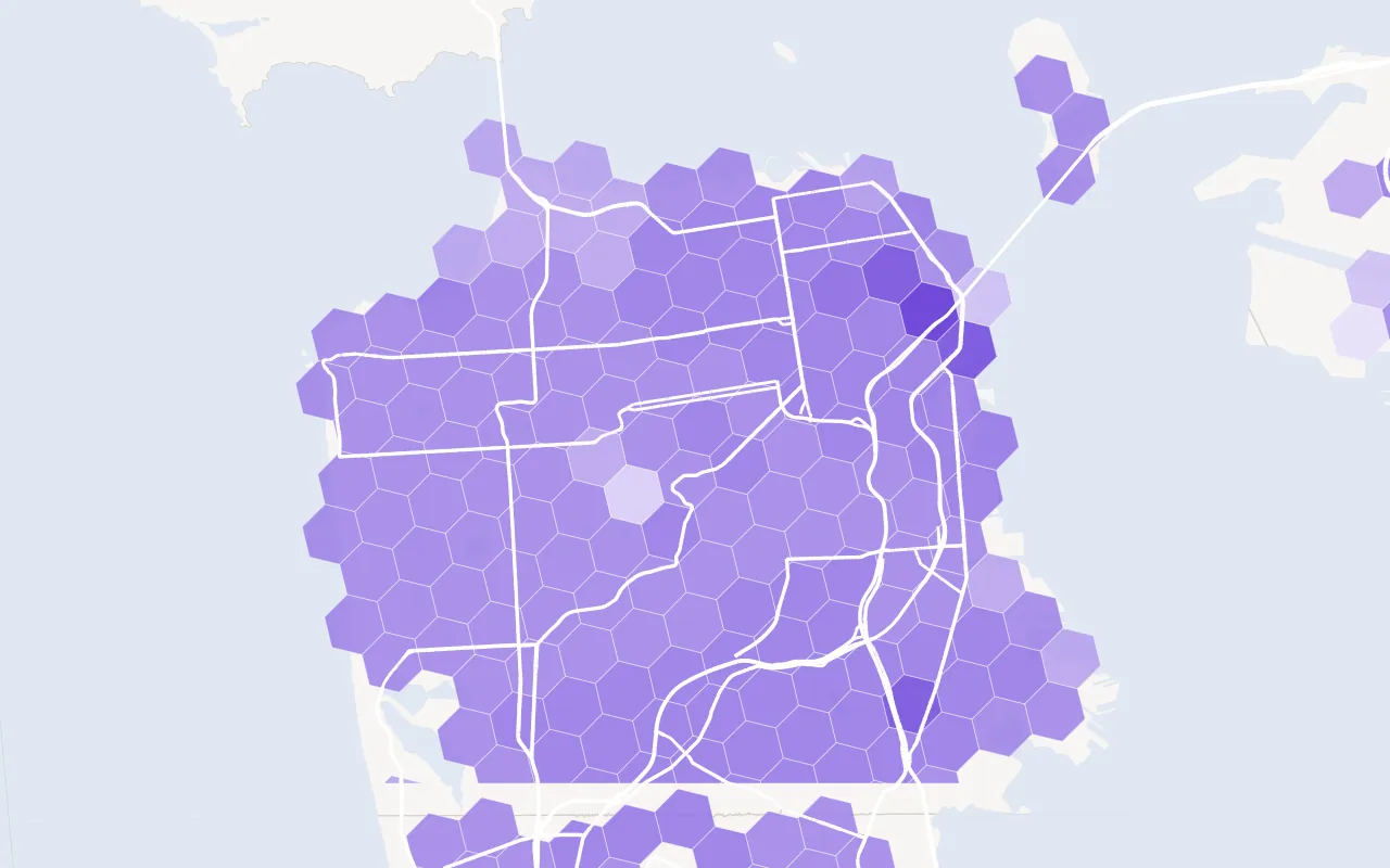
broadband-fiber Fiber reported to the FCC, by fastest advertised speed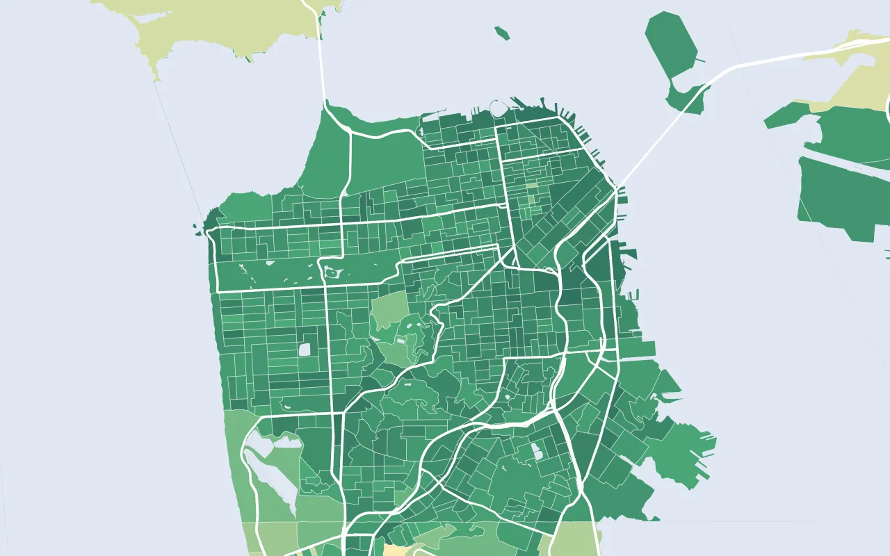
walkability EPA National Walkability Index, by block group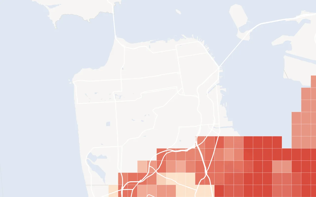
uas-grid FAA drone ceilings near SFO: darker is lower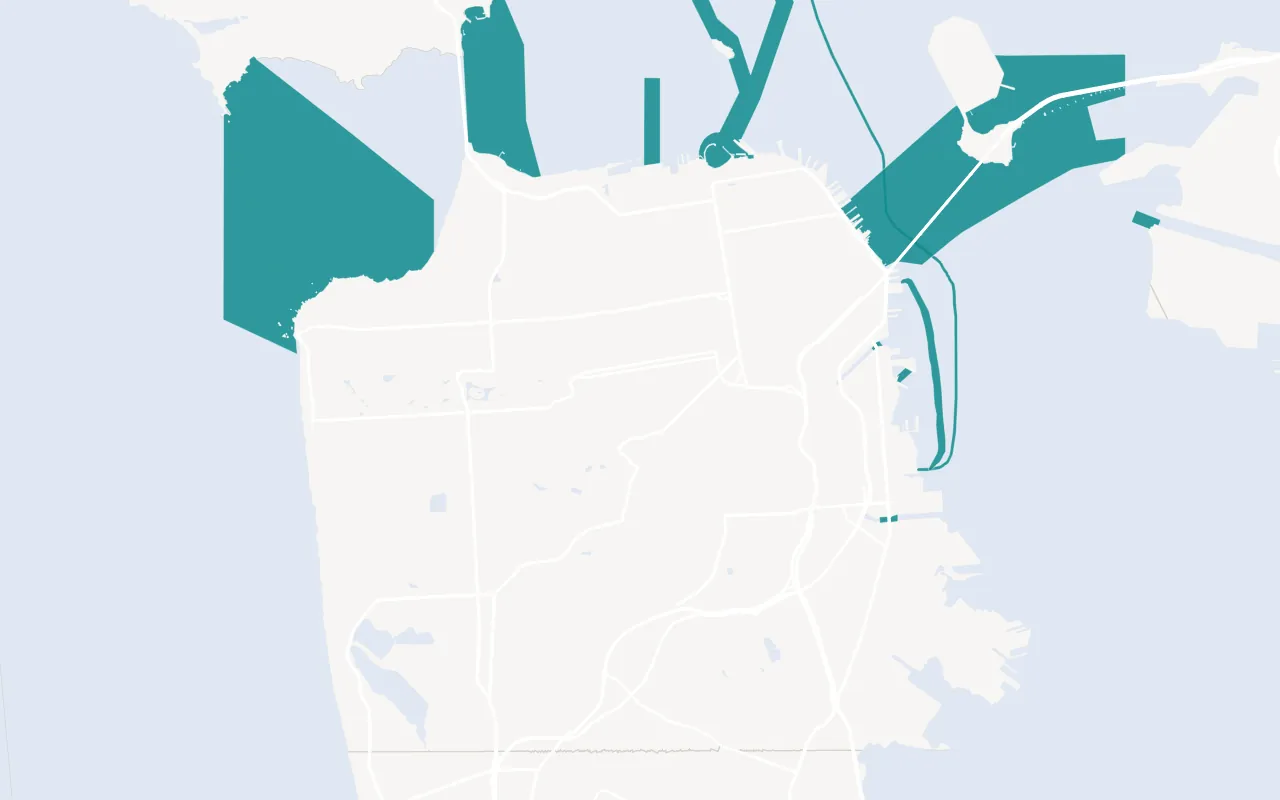
cables-noaa Undersea cables charted by NOAA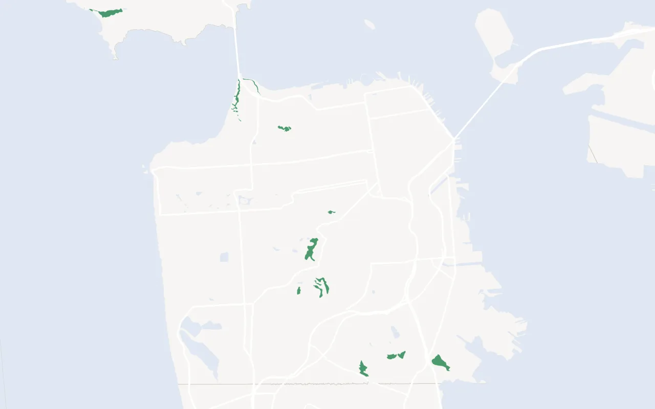
critical-habitat Critical habitat (US Fish and Wildlife Service)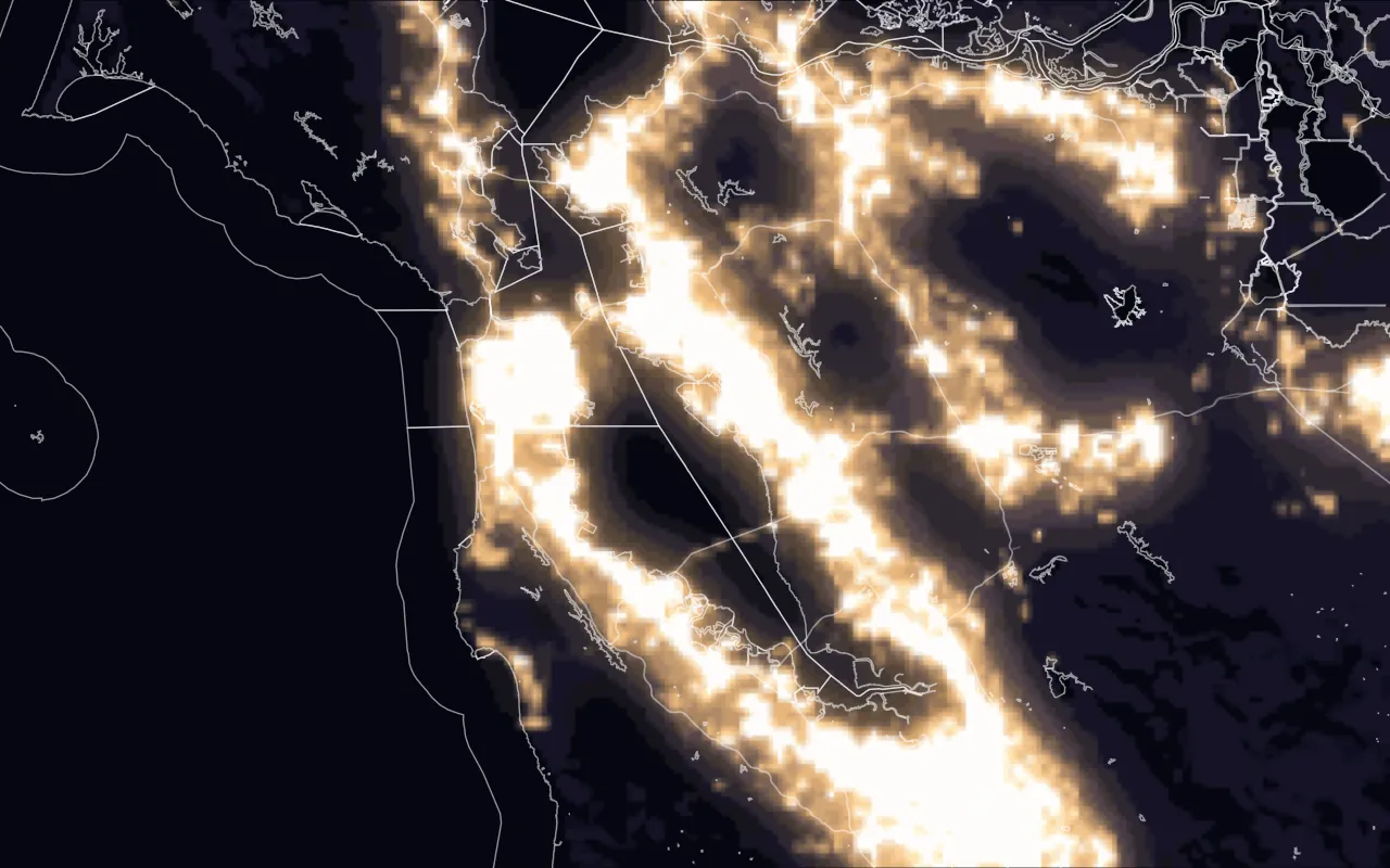
night-lights Night lights (NASA Black Marble)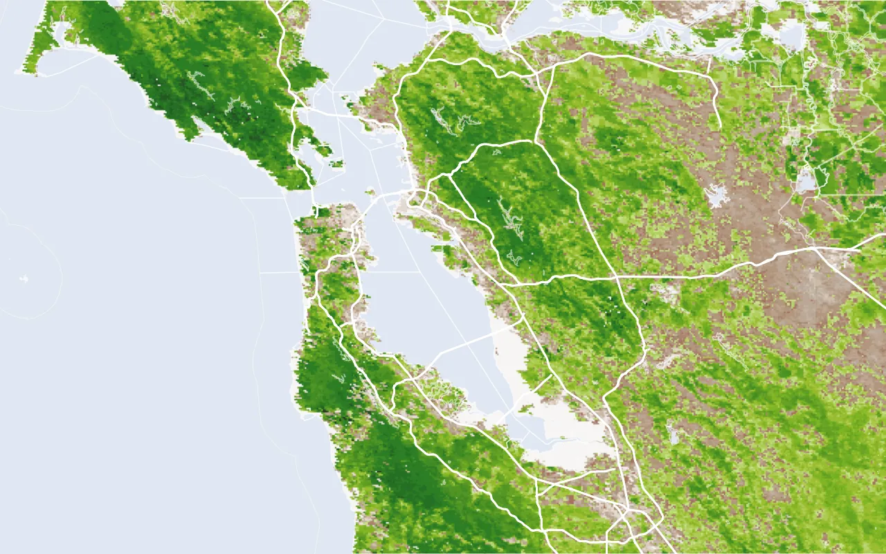
greenness Vegetation greenness, NDVI (NASA MODIS)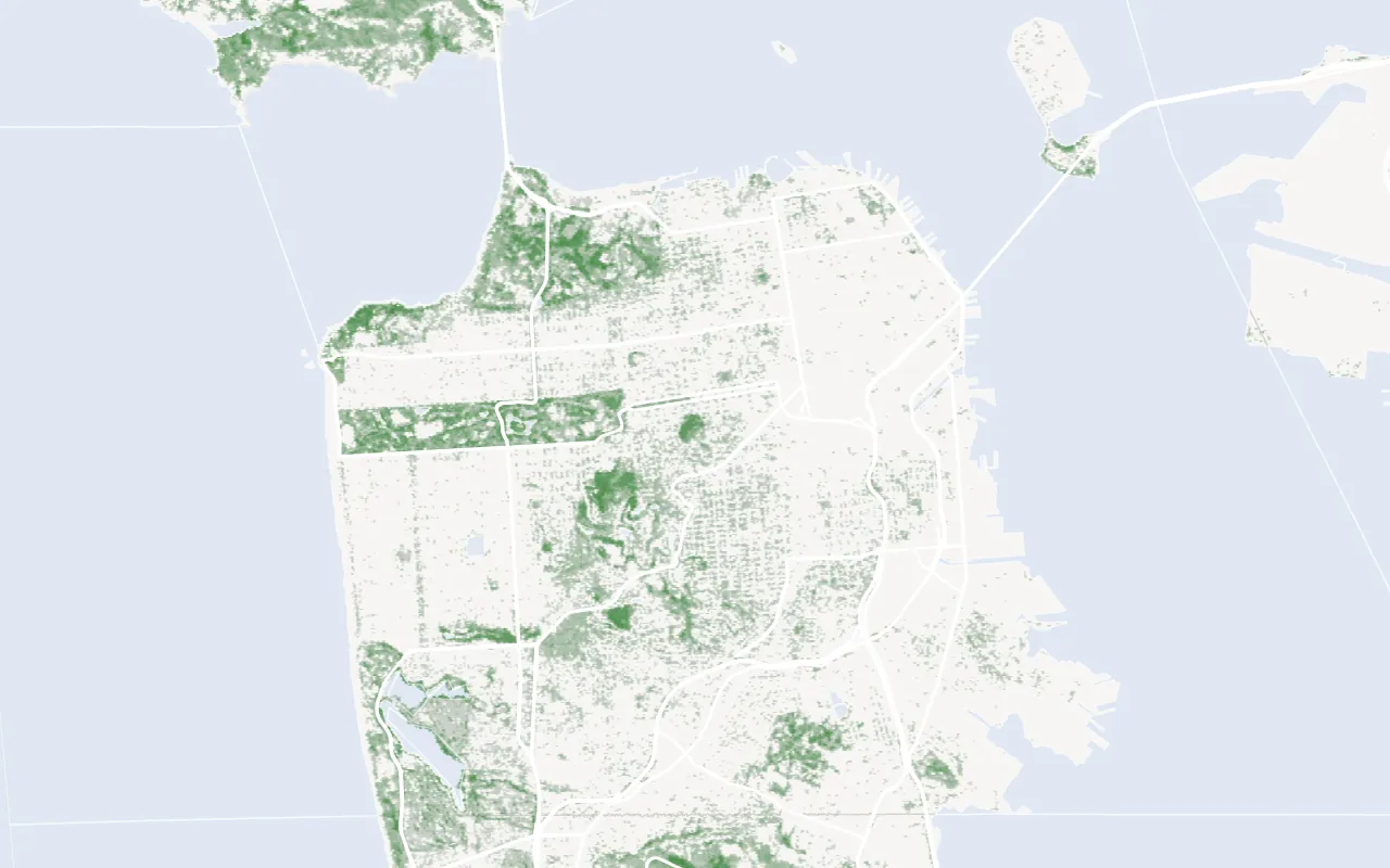
tree-canopy Tree canopy cover (USFS, NLCD 2021)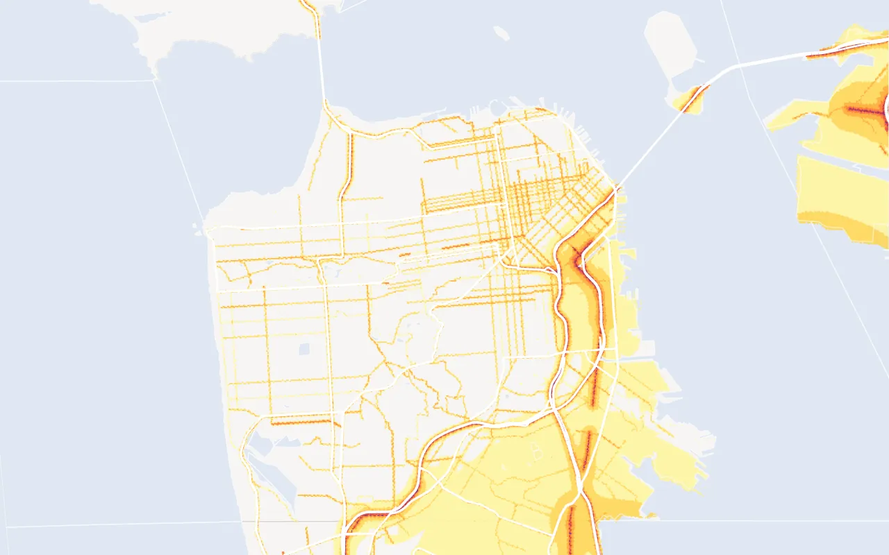
noise Road, rail and aviation noise (US DOT)Drawn from GET /v1/layers/{layer}?bbox=…&geometry=true over San Francisco and the Bay Area; imagery layers are the West Kite map tiles. Land: US Census Bureau TIGERweb. Roads: OpenStreetMap contributors (ODbL).
| Endpoint | Does | Price |
|---|---|---|
GET /v1/properties/{id}/site |
A site screen: environmental, hazards, incentives, buildability and zoning | $0.05 |
GET /v1/zoning |
The zoning district at a property or point | Free |
GET /v1/layers/{layer} |
One national map layer by point, radius or box; GET /v1/layers lists them |
Free |
GET /v1/nearby |
Roads, rail, water and gas near a site, nearest first; brands with kinds=brands |
$0.01 |
GET /v1/power |
Plants, substations, lines, the serving utility and capacity | $0.05 |
GET /v1/demographics |
People, income, jobs and housing for an area or a ring | $0.05 |
GET /v1/markets |
Market series by period, to chart a trend | Free |
Owners
| Endpoint | Does | Price |
|---|---|---|
POST /v1/research |
Trace up to 100 owners to the people behind them | $0.10 each |
GET /v1/research/{id} |
A run's status and result | Free |
POST /v1/contacts |
An email, phone or LinkedIn for a person research named | From $0.50 |
Account and data
| Endpoint | Does | Price |
|---|---|---|
GET /v1/coverage |
What West Kite holds for a state or county | Free |
GET /v1/sources |
Every source, with its terms and last load | Free, no key |
POST /v1/requests |
Ask for data West Kite doesn't have | Free |
GET /v1/balance |
What's left in your balance | Free |
GET /v1/usage |
What you've spent, by day and operation | Free |
Failed calls and lookups that find nothing cost nothing. GET /v1 lists the endpoints, and GET /v1/openapi.json describes every one as OpenAPI 3.1. The full reference is generated from it.
Site screening, map layers and nearby infrastructure
Three endpoint groups describe a site. They differ in what they return.
| Endpoint | Returns | Use when |
|---|---|---|
| Site screening | A result per topic (environmental, hazards, incentives, buildability, location) with a tone and the findings behind it |
You need a summary assessment of one property |
| Map layers | The features of one layer at a point, within a radius or inside a box, optionally with GeoJSON geometry | You need the source values, or want to draw the layer |
| Nearby, Power | The nearest transport, utility and power features, with distance and direction | You need distances to infrastructure |
Conventions
- Auth.
Authorization: Bearer <key>. See API keys. - One response shape. Every success is
data,missing,billingandrequest_id. Every error iserror. See Making requests. - Missing isn't zero. A field a county doesn't publish comes back in
missingwith a reason, never as 0. See Missing data. - You set the ceiling.
max_cost_usdcaps any call, and each key can carry a monthly spend cap. See Pricing and billing.
Common questions
Which plans include the API?
All plans, including Free. One balance is used for the API, the MCP server and the CLI. See Pricing and billing.
Is there an SDK?
No. Use any HTTP client. Examples use curl, fetch and Python requests. A typed client can be generated from the OpenAPI document.
Do API keys work with the MCP server or the CLI?
No. The MCP server and the CLI authenticate through browser sign-in.