For AI agents: the documentation index is /docs/llms.txt, and this page is available as Markdown.
Map layers
Returns the features of a national map layer, such as dams, fiber availability or flood insurance claims, at a point, within a radius or inside a bounding box. All layers take the same parameters and return the same response shape. Free. The same layers feed site screening.
GET/v1/layers
GET/v1/layers/{layer}
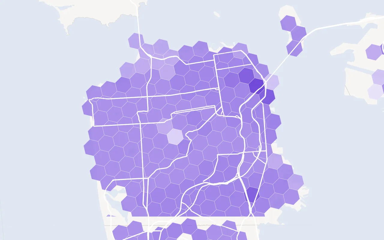
broadband-fiber Fiber reported to the FCC, by fastest advertised speed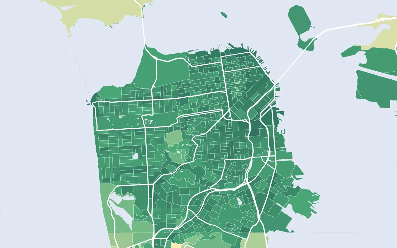
walkability EPA National Walkability Index, by block group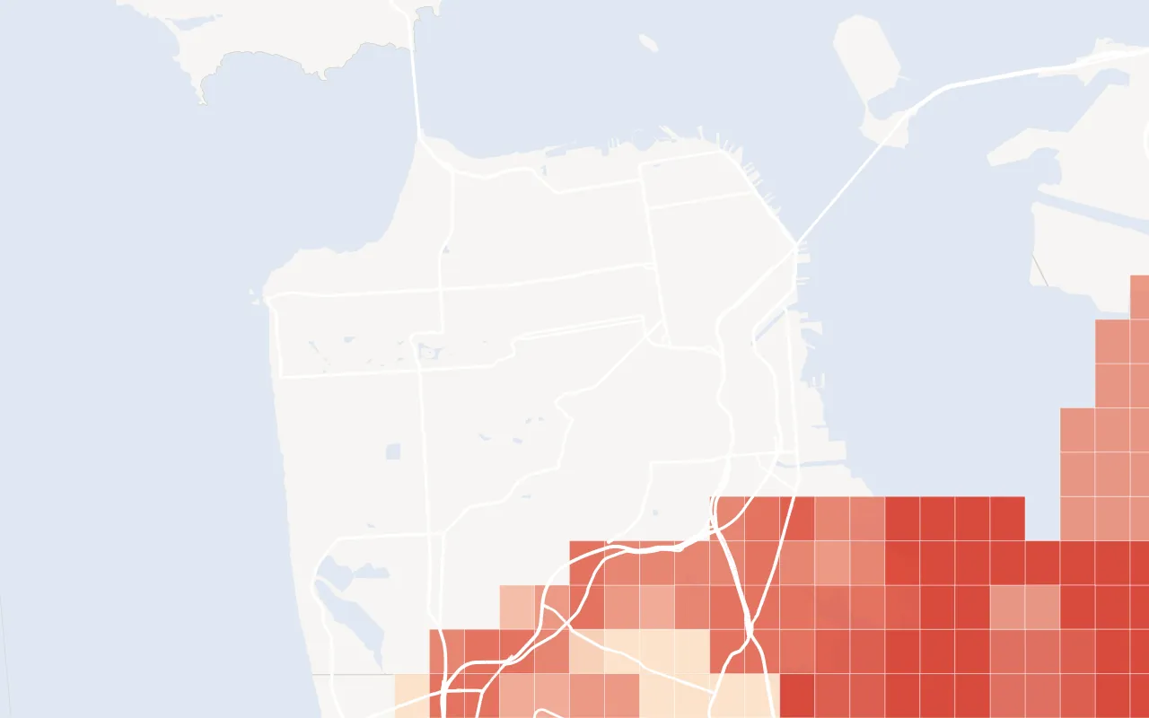
uas-grid FAA drone ceilings near SFO: darker is lower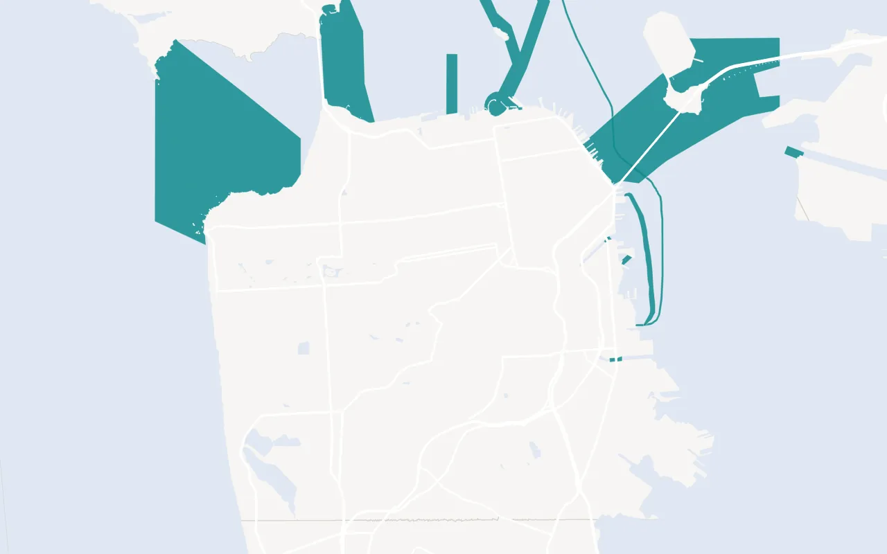
cables-noaa Undersea cables charted by NOAA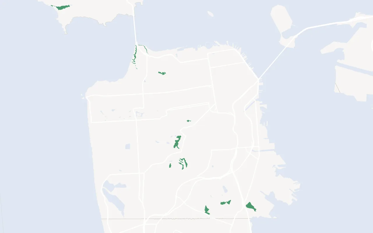
critical-habitat Critical habitat (US Fish and Wildlife Service)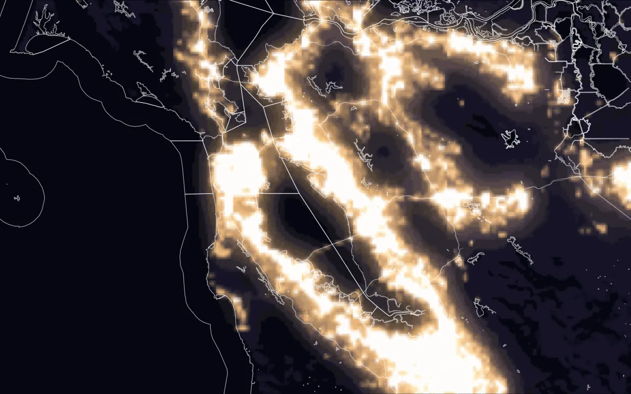
night-lights Night lights (NASA Black Marble)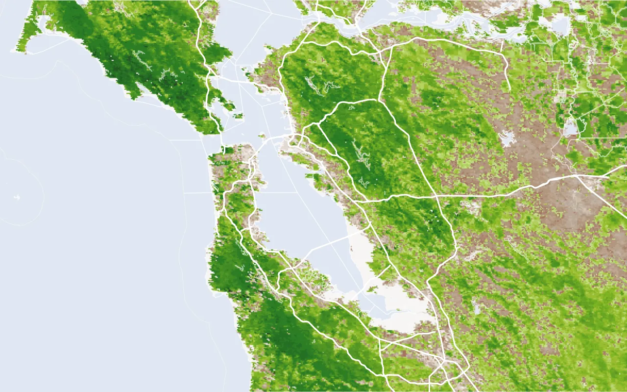
greenness Vegetation greenness, NDVI (NASA MODIS)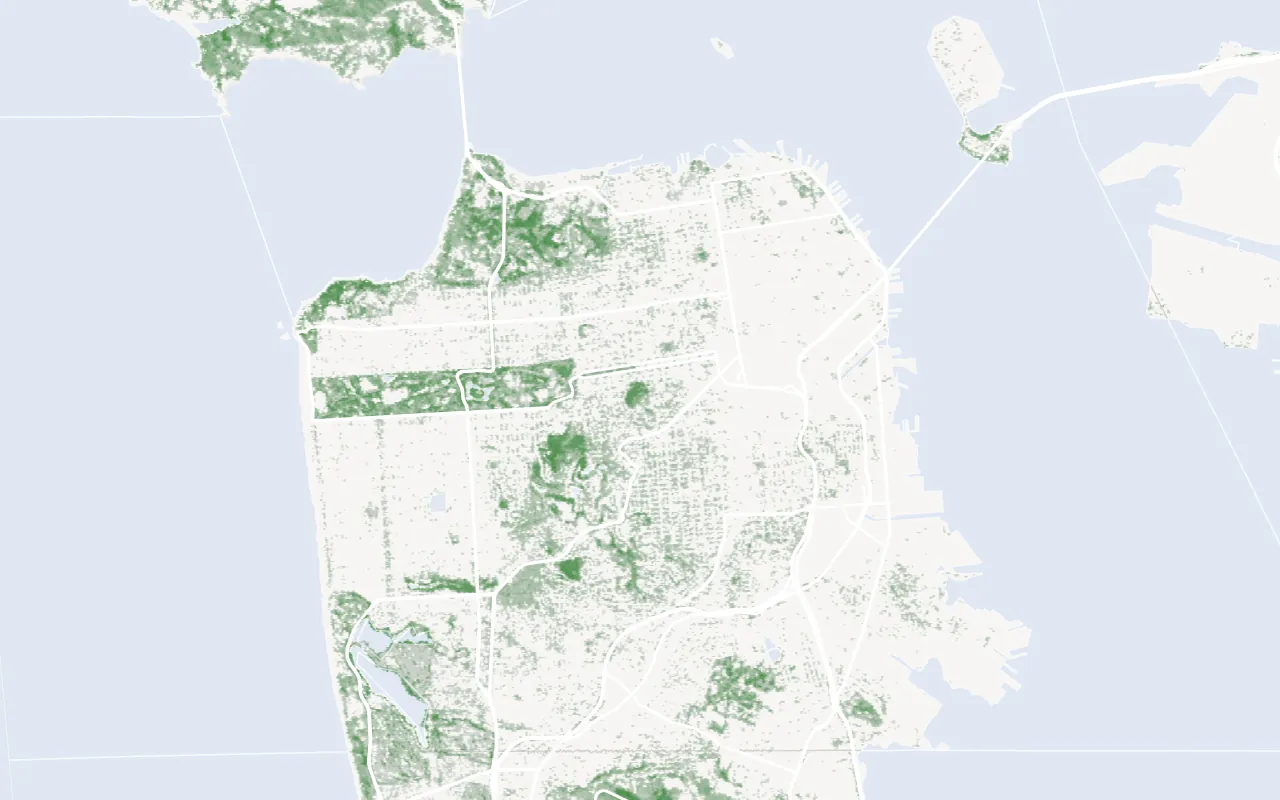
tree-canopy Tree canopy cover (USFS, NLCD 2021)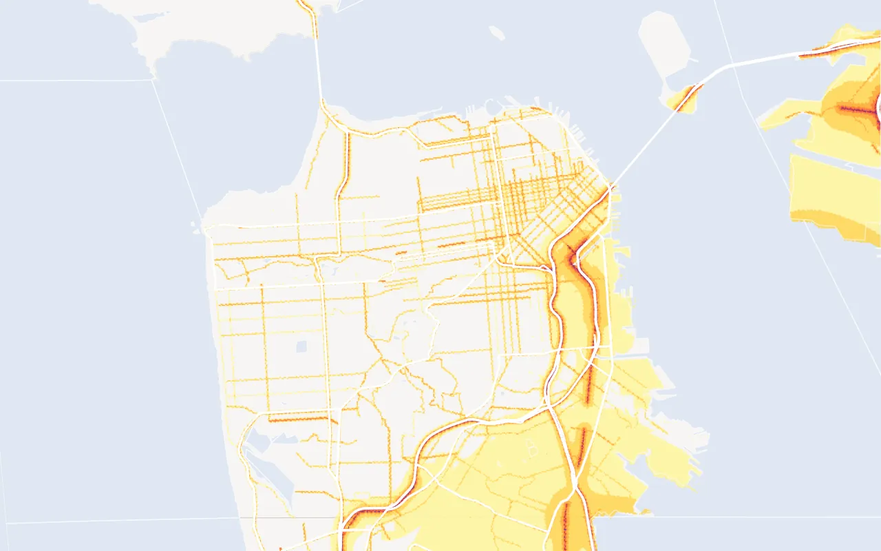
noise Road, rail and aviation noise (US DOT)Drawn from GET /v1/layers/{layer}?bbox=…&geometry=true over San Francisco and the Bay Area; imagery layers are the West Kite map tiles. Land: US Census Bureau TIGERweb. Roads: OpenStreetMap contributors (ODbL).
GET /v1/layers lists every layer with its geometry, default search radius, coverage, publisher, vintage and terms. Read the list there rather than copying it: new layers join it as they go live.
Parameters
| Name | Type | Description |
|---|---|---|
layer |
path | A layer id from GET /v1/layers, such as dams. |
property_id |
string | A property ID. Or send lat and lng, or bbox. |
lat, lng |
number | A point in the United States, in decimal degrees. |
radius_m |
number | How far around the point to look, 0 to 16,000 m. The default is the layer's default_radius_m. 0 returns only features that cover the point. A radius holding more features than one read takes (about 2,000 for live layers) answers invalid_request: send a smaller one, or bbox. |
bbox |
string | west,south,east,north in decimal degrees, at most 0.5 degrees each way, instead of a point. Page a larger area as several boxes. |
limit |
integer | Features returned, 1 to 500. Default 100. |
geometry |
boolean | true adds each feature's shape as GeoJSON in geometry, with coordinates to six decimal places. Default false. |
Request
curl --get "https://api.westkite.com/v1/layers/dams" \
  -H "Authorization: Bearer $WESTKITE_API_KEY" \
  --data-urlencode "lat=38.70" \
  --data-urlencode "lng=-121.16" \
  --data-urlencode "radius_m=3000"
const params = new URLSearchParams({ lat: "38.70", lng: "-121.16", radius_m: "3000" });
const res = await fetch(`https://api.westkite.com/v1/layers/dams?${params}`, {
headers: { Authorization: `Bearer ${process.env.WESTKITE_API_KEY}` },
});
const { data, missing } = await res.json();import os, requests
res = requests.get(
"https://api.westkite.com/v1/layers/dams",
params={"lat": 38.70, "lng": -121.16, "radius_m": 3000},
headers={"Authorization": f"Bearer {os.environ['WESTKITE_API_KEY']}"},
)
body = res.json()Response
{
  "data": {
    "layer": "dams",
    "label": "Dams",
    "source": { "id": "usace-nid", "publisher": "U.S. Army Corps of Engineers, via Esri's federal data layer", "vintage": "Live; USACE updates it continuously" },
    "coordinates": { "lat": 38.7, "lng": -121.16 },
    "radius_m": 3000,
    "count": 3,
    "more_available": false,
    "features": [
      {
        "distance_m": 840,
        "geometry_type": "Point",
        "lng": -121.1567,
        "lat": 38.7075,
        "nid_id": "CA10148",
        "name": "Folsom Dam",
        "hazard_potential": "High",
        "condition": "Not Available",
        "height_ft": 340,
        "year_completed": 1956,
        "owner_type": "Federal",
        "river": "American River"
      }
    ]
  },
  "missing": [],
  "billing": { "operation_id": "op_7a2e…", "operation": "layers", "charged_usd": 0, "balance_usd": 9.85 },
  "request_id": "req_7a2e…"
}| Field | Meaning |
|---|---|
features |
The layer's own records, nearest first for a point. Each layer's fields are its publisher's, renamed to plain snake_case with units in the name. |
distance_m |
Metres from the point to the feature. 0 means the feature covers the point. |
geometry_type |
Point, Polygon, MultiPolygon or a line type. Point features also carry lat and lng. |
count |
Every feature found. more_available says limit cut the list. |
geometry |
With geometry=true: the feature's GeoJSON geometry. |
source |
The publisher and vintage. source.id identifies the source, not a layer: pass a layer id from GET /v1/layers in the path. |
Reading results
- Map imagery. Some layers, such as tree canopy and the seismic design category, are images with a value at each point: a point read returns one feature with
geometry_typeRasterand the value. Layers that are imagery only answernot_published, andbboxis refused for any image layer. Each layer'sreadsinGET /v1/layerssays which reads it takes. - Partial coverage. A layer whose
coverageis less than the country, such as state DOT projects, answersnot_coveredwhen it finds nothing, because none there may mean no data. - Point only. A layer whose
readsispointalone, such as disaster declarations, refusesbbox. - Unknown is not none. When a publisher does not answer,
missingsaystemporarily_unavailableandfeaturesis empty: retry. When it answers with nothing,missingsaysnot_found.
Notes by layer
| Layer | Note |
|---|---|
| Foreign trade zones | foreign-trade-zones is one point per zone, at the grantee's city. ftz-sites is each zone and subzone site that has not ended or lapsed at its sunset, at the Board's coordinates where it publishes them and otherwise placed by its street address: location_approximate and address_match say which, the point is not the site's boundary, and sites that could not be placed (about a third) are left out, so none nearby is not a finding. A listed site is not proof of authority: sunset_passed marks a sunset date that has passed, which use of the site may have extended. |
| Overlapping utilities | utility-rates lists every retail territory covering the point and sets overlapping_territories when there is more than one. They are the possible utilities, so confirm which serves the site. more_tariffs_possible marks a utility whose list stops at the newest 40 tariffs. |
| Radon counties | EPA's radon map uses its 1993 counties. county_fips is today's county, published_county_fips is EPA's code, and county_fips is null where the old county has no single successor: Connecticut, and two areas of Alaska. |
| Fiber and 5G | Both come from the FCC's Broadband Data Collection as of June 30, 2026. West Kite is not endorsed by the FCC. broadband-fiber means providers reported fiber somewhere in a hexagon of about 0.74 km², never at one building, and lists each provider's advertised speeds. mobile-5g is providers' modelled coverage, all providers together, in three claims: outdoor_7_1, outdoor_35_3 and vehicle_7_1 (Mbps down and up). The FCC's hexagon file can't say 35/3 in a vehicle, so that is not served. Neither layer says anything about service inside a building, and an empty answer means none reported or modelled, not proof of no service. The 5G map is generalised to hexagons of about 5 km²; the API reads the full detail. |
| Dams | hazard_potential is what a failure would cost downstream (High means a probable loss of life), not the dam's condition, and being near a dam is not being below it. condition is the state's own assessment where it publishes one. |
| Hail | hail is people's reports. hail-swaths is radar-estimated maximum hail size from NOAA's MRMS, October 14, 2020 to November 21, 2026, on a grid of about 1 km, filtered by lightning as Wendt and Jirak (2021, Weather and Forecasting 36, section 3a) describe. It is not damage. It reads high on some days, and low for the largest stones because values over 5 in are removed. days_clear counts days read in full with no radar-estimated hail of 1 in or more on record. A removed value or a missing hour counts in days_unknown, never as no hail. Radar can't tell a dropout from no hail. A point answers its own grid cell, or not_covered outside radar coverage. A radius or box answers only cells with a hit. No swaths are held before October 2020, and NOAA's radar series has a gap from January 2012 to mid-August 2019. Known residue: four cells near Peterborough, Ontario keep 29 hit days that look like a radio emitter passing the filter. |
Errors
| Code | When |
|---|---|
invalid_request |
An unknown layer, a radius or box holding more than one read takes, both a point and bbox, a box over 0.5 degrees, or a point outside the United States. |
not_found |
No published property with a location has that ID. |